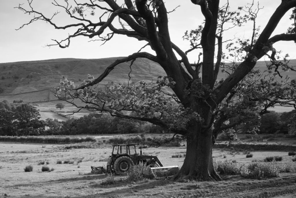
Farndale is a valley within the North York Moors and is surrounded by some of the wildest moorland in England. The dale is sandwiched between Bransdale to the west, Rosedale to the east and Westerdale to the north. To the north-east sits Blakey Ridge at over 1,312 feet (400 m) above sea level, and to the north-west, Cockayne Ridge reaching up to 1,490 feet (454 m) above sea level is one of the highest points of the North York Moors. The southern boundary of the Farndale Parishes are along Harland Beck and Shortsha Beck (across Lowna Lund), although the Gillamoor to Hutton-le-Hole road is considered as the boundary for all other purposes, south of this the dale continues but changes its name to Douthwaitedale, through the Tabular Hills until it reaches Keldhome, then Kirkby Mills just east of my home town of Kirkbymoorside.
Last night I escaped the Euro football on TV and headed off with the Ricoh to explore the valley which I know reasonably well but haven’t returned to so far this summer. I dropped down from the Blakey Road to the Feversham Arms pub and followed the dead end road Dale End.
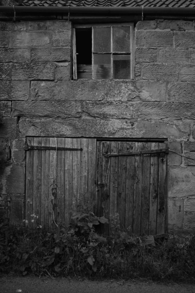
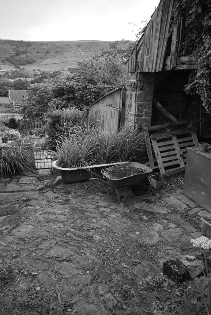
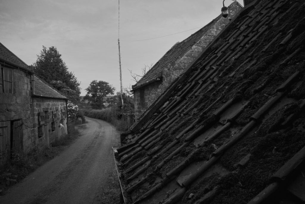
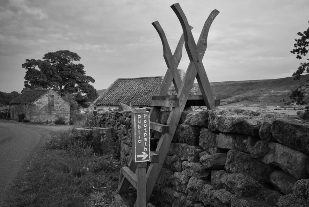
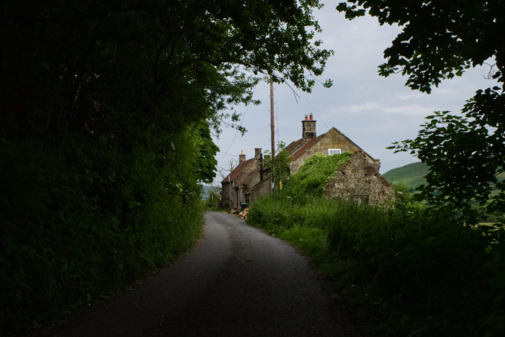
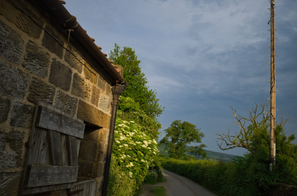
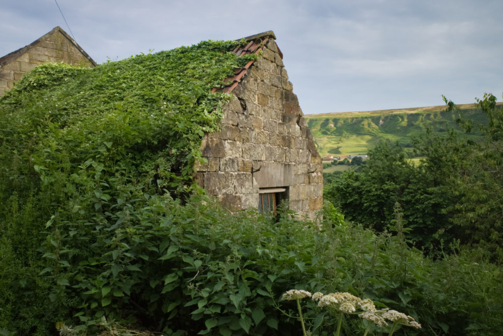
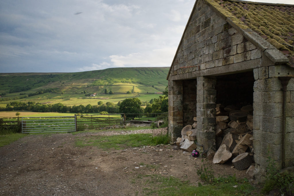
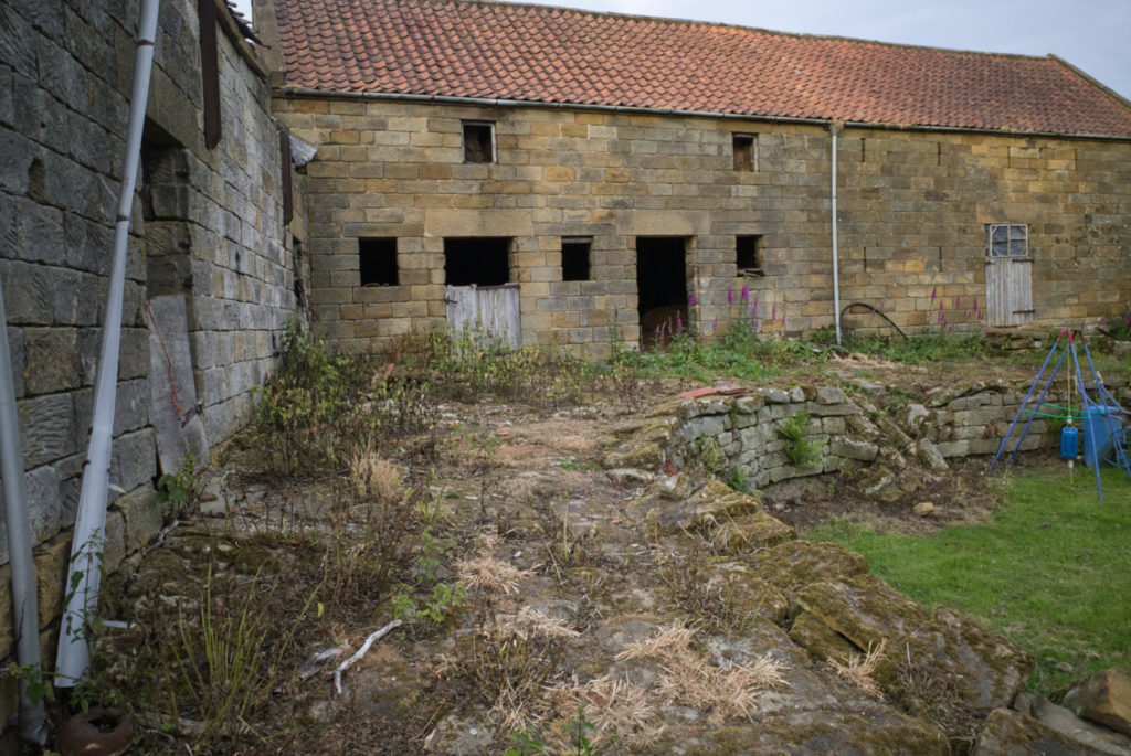
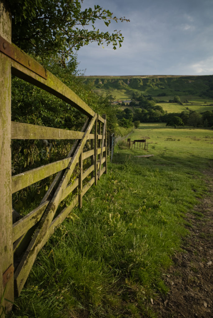
It had been a dullish afternoon but as often happens the sun appeared as the evening wore on so the valley looked stunning. The population of Farndale has decreased in recent years as sheep farming has become more challenging. Some farms have diversified into holiday lettings but the season is short so that too must be a struggle. While there are plenty of farm buildings that have seen better days there were also examples of buildings being restored and gardens with play equipment so while I didn’t see anyone (or another vehicle) there are folk willing to give it a go in this remote outpost.
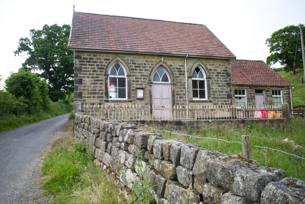
The Methodist Chapel however has just been sold for £60K, though without residential planning permission.
And here’s a selection of images taken along the road:
Next time I’ll leave the car in Church Houses and cycle up Dale End.
